- Home
- Newsroom
Newsroom
The Latest News from Dabeeo
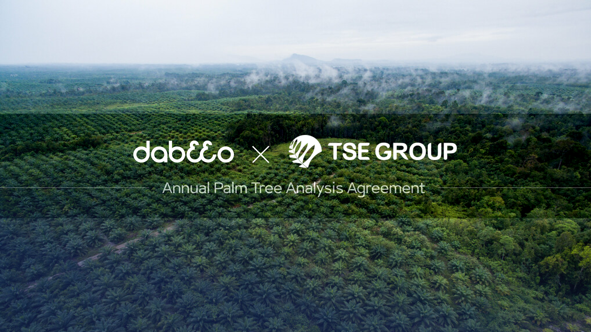
Dabeeo, has launched a palm oil farm AI monitoring project in Indonesia covering an area larger than Seoul.
2024-05-21 조회수 5567
- Contract signed with TSE Group, a major Indonesian palm oil producer.
- Overcoming challenges of managing vast farms exceeding the size of Seoul, utilizing drone footage, etc.
- Cutting-edge AI technology based on world-class 30cm-resolution satellite imagery for detecting tree changes and analyzing health status.
- Development of a specialized monitoring platform for palm oil farms based on Dabeeo's award-winning CES innovation, "Dabeeo Eartheye."
- Expanding business and market presence, with Indonesia and Malaysia, which account for 80% of global palm oil production, as key footholds.
On 21th, Dabeeo, a leading pioneer in geospatial intelligence AI technology, announced the commencement of its full-fledged expansion into the AI monitoring project in Indonesia. Dabeeo has signed a contract with Tunas Sawa Erma(TSE) Group, one of Indonesia's major palm oil producers, for a palm oil farm monitoring project covering an area larger than Seoul, totaling 765㎢.
This contract marks a significant milestone in Dabeeo's expansion of its palm oil farm monitoring project, which began in Malaysia last year. Particularly, by consecutively securing major clients in Indonesia and Malaysia, which collectively contribute to 80% of global palm oil production, Dabeeo plans to use this as a foundation for expanding its business to surrounding palm oil farms. Amidst numerous Korean companies striving to enter the Indonesian market and explore business opportunities, the contract with TSE Group, which has successfully operated palm oil businesses in Indonesia for approximately 30 years, can be interpreted as a strong signal of Dabeeo's entry into the Indonesian market.
Currently, palm oil farms rely on cheap local labor and drone footage for monitoring. Drones capture footage to manage tree quantity and health indices. However, using drones to capture extensive areas in equatorial regions, where these farms are often located, poses significant challenges. For instance, drones can only operate for limited periods, typically 2-4 hours, due to overheating batteries under intense sunlight. Therefore, capturing the entire farm requires a significant amount of work. Extended shooting times can also introduce distortion into health analyses. To calculate tree health, near-infrared(NIR) information within the footage is crucial. However, NIR data varies with sunlight intensity, potentially eading to inaccurate analyses. Most drones lack NIR support, and even if available, prolonged filming undermines data reliability.
The solution lies in AI analysis using ultra-high-resolution satellite imagery. Satellite imaging offers comprehensive coverage of vast areas in a single snapshot, effectively mitigating such errors. Dabeeo leverages top-tier 30cm-resolution satellite imagery, collaborating with leading commercial satellite providers like Airbus and Maxar since 2018 to develop AI models continuously. Based on this, Dabeeo achieves over 99.5% accuracy in detecting palm tree objects and over 90% accuracy in classifying their health status. Dabeeo's expertise extends to detecting changes, enabling early detection of diseases and providing essential data for yield predictions by continuously updating information on diseased trees. Dabeeo aims to extend its collaboration with TSE Group to include nutrient analysis, identifying nutrient deficiencies in individual trees through satellite imagery to optimize fertilization plans, potentially revolutionizing palm oil farm operations.
The analyzed data is optimized for user access through a platform. Since 2023, Dabeeo has been developing a platform for monitoring Indonesian palm oil farms in collaboration with TSE Group. This platform is based on Dabeeo's award-winning "Dabeeo Eartheye," recognized at CES 2022 as an innovative satellite image-based AI analysis platform. While new features were added for palm oil farm management, the main focus was ensuring rapid access to large data volumes even in areas with poor internet connectivity. Given that most palm oil farms are located in remote areas with limited internet access, addressing this challenge was crucial. The platform now enables uninterrupted access even at 12Mbps (approx. 1/14th of the average speed in South Korea), allowing farm managers to take immediate action on-site. It enables the identification of abnormal trees, pinpointing their exact locations for focused monitoring via GPS. By deploying resources accurately and efficiently, such as timely manpower allocation to problem areas, the platform enhances overall farm operations. Transitioning from systems accessible only to GIS experts to a web-based platform accessible to all organization members enhances the effectiveness of farm monitoring across TSE Group.
Ju Hum Park, CEO of Dabeeo, stated, "While high-precision satellite imagery is commonly used for military and IT purposes, cases like this one, applied in agriculture, are quite rare. This case demonstrates the expanding utility of satellite imagery across various domains, with Dabeeo leading the way. Particularly meaningful is our ability, as a Korean company, to pioneer business avenues in the Indonesian and Malaysian markets, which collectively account for 80% of global palm oil production." He added, "At a time when there are no prominent players in the farm monitoring business, our strategic entry into the market through the recent contract with TSE Group enables us to accelerate business activation in order to expand our market share significantly in the future.”
-
Dabeeo uses AI technology to even detect the addition of solar panels on rooftops... Accelerating urban change detection projects.
-
Dabeeo, Selected as 1st investment company for Defense Fund created by LIG Nex1, accelerating business expansion in defense sector
Join Dabeeo on the path to becoming a global leader.
 다비오
다비오